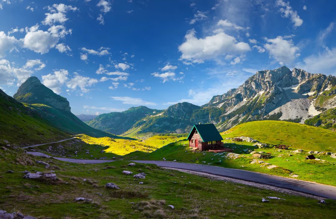
In Žabljak, the sea is more than three hours away by road. At about 1,450 m above sea level, in the highest town in the Balkans, the air is cooler, spruce forests replace olive trees, and the peaks rise above 2,500 m. Durmitor National Park is the country’s main hiking hub: glacial lakes, limestone summits and, above all, the Tara Canyon, more than 1,300 metres deep.
How long should you stay?
Two nights are a reasonable minimum; three let you keep a spare day in case the weather changes, which is common in the mountains. Thunderstorms and sudden cold snaps happen even in summer.
The highlights
Black Lake (Crno jezero)
About 3 km from Žabljak, this is the most accessible outing: an easy 3.5 km loop, taking 1 to 1.5 hours. Swimming is possible in summer (the water is cool).

The Ćurevac viewpoint over the Tara Canyon
The viewpoint is at 1,626 m, about 20 minutes by car (7.6 km) from Žabljak, followed by a walk of about 30 minutes. The canyon is more than 1,300 m deep. There is no safety barrier at the edge: take care with children, in wind and in wet weather.
The Đurđevića Tara Bridge
365 m long and 172 m high, it spans the canyon in five arches. When it was built, it was the largest concrete arch bridge in Europe. Zip-lining is offered here, and from above you can see the rafting boats.

Rafting on the Tara
The lower part of the canyon offers about 22 km of river and 23 rapids, starting from Brstanovica. Day trips are listed at around €105 to 130 per person depending on the departure point (Sarajevo, Podgorica, Budva), with a family option listed at about €50. The difficulty depends on the season: very high level (up to 5-) in April and early May, calmer (3-) in September and October. For children or beginners, choose autumn or the upper section, where the water is calmer.
The hikes
| Hike | Distance | Duration | Difficulty |
|---|---|---|---|
| Black Lake (loop) | 3.5 km | 1 to 1.5 hrs | Easy |
| Prutaš (2,393 m), from Dobri Do | ≈ 9 km round trip | ≈ 4 hrs | Moderate |
| Bobotov Kuk (2,523 m), from Sedlo Pass | ≈ 10 km round trip, 940 m of elevation gain | 5 to 8 hrs | Hard |
| Bobotov Kuk, from Žabljak | ≈ 20 km | 10 to 12 hrs | Hard |
| Planinica (2,330 m) | ≈ 10 km one way, ≈ 1,000 m of elevation gain | 5 to 7 hrs | Hard |
A note on accuracy. Bobotov Kuk, the highest peak in the massif, is given as 2,523 m by most sources, but some pages list other elevations. The wind can be icy there, even in summer. Start early, with a waterproof and a warm layer.
When to visit
The good season runs from the second half of June to September. Snow can linger until the end of June on exposed summits and passes. The Savin Kuk chairlift operates in summer (roughly June to October). Winter is long and harsh: it is also the ski season, in Žabljak as in Kolašin.
Getting there and driving
From Kotor, allow about 150 km and 3 to 4 hours on the road, with many bends. The main roads are generally passable, but the terrain, the weather and the secondary roads call for driving with a margin. France Diplomatie points out that some roads can become difficult in winter and that passes may close; a winter equipment requirement applies from 15 November to 1st April.
Best avoided: a long hike in the morning followed by a transfer to the coast in the evening. The mountains reward a lighter schedule.
Entrance and accommodation
Park entry is €5 per person per day (free for very young children). An annual pass at €13.50, valid in all five national parks, pays off after just a few days of visiting: see the budget. Žabljak has most of the hotels, guesthouses and bungalows, from 3-star hotels to small lodges. Book early in high season.
To continue north, Biogradska Gora park is about 15 minutes from Kolašin; for a dedicated guide in English, see Biogradska.com.